Snohomish County Community Floodplain Map
What is Integrated Floodplain Management?
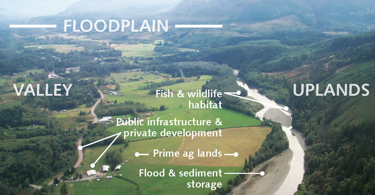
Integrated floodplain management is a holistic way to manage river resources that benefit diverse interests. A healthy floodplain is a place where both people and nature thrive. In order to be successful, partners and willing landowners must work together to put forward ideas that protect the health and livelihood of a more resilient floodplain community.
Click here for more information about Community Floodplain Solutions
Community Floodplain Solutions
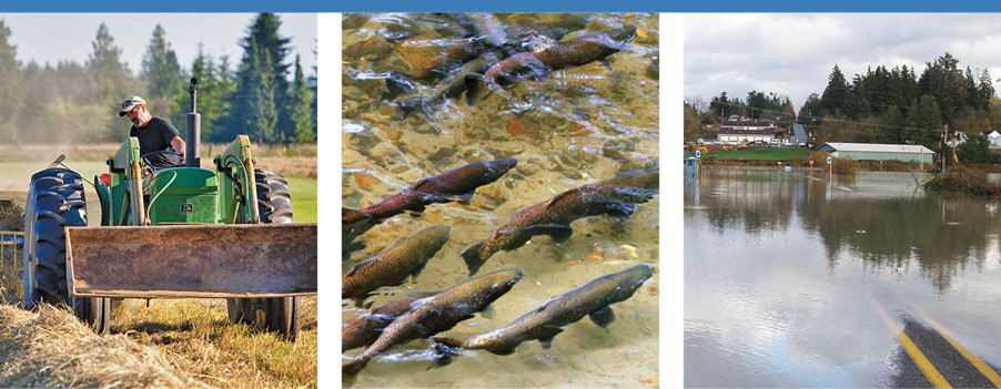
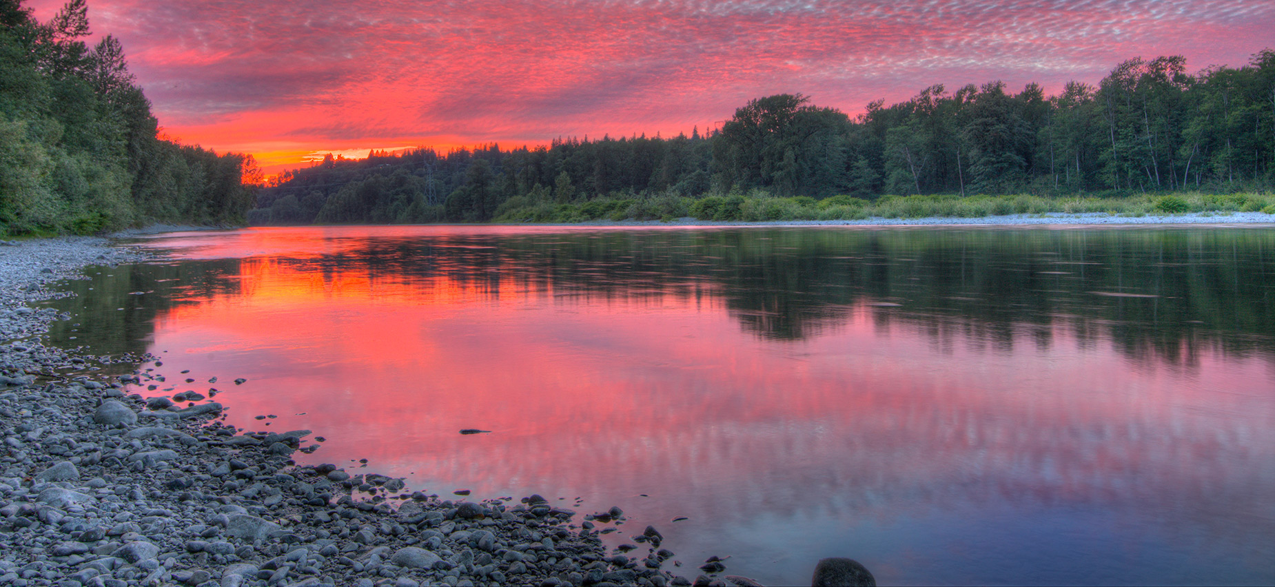
The floodplains of Snohomish County are facing difficult and complex challenges. Land conversion and changing weather patterns threaten the livelihoods of farmers. Salmon populations continue to decline due to habitat loss. Large flood events are becoming more frequent and damaging. We can’t solve these problems alone, or by relying on uncoordinated, infrastructure-heavy flood control measures of the past. A shift to integrated floodplain management is needed to help communities identify and advance solutions that achieve gains for Farm, Fish and Flood reduction.
Community Floodplain Solutions (CFS) is a collaborative effort between Snohomish County, the Sustainable Lands Strategy (SLS), the Conservation District and more than a dozen organizations – all working to improve how we manage floodplains. Through integrated floodplain management, we can develop actions that lower flood risks to residents and farmers while increasing salmon habitat without transferring the hazards to adjacent or downstream landowners.
For more than a decade, SLS partners, subject matter experts and community members have worked together to build a multi-benefit planning framework, which led to the Lower Skykomish River Reach Scale Plan. This work continues to influence the CFS – Sky Valley program. Moving actions forward requires finalizing landowner agreements where work can begin. Potential project areas identified in this interactive map are still under review and not possible without the help of willing landowners.
- Please leave comments and your contact information so we can get in touch.
- The more information you provide, the better we can work together!
- If there are projects that are close together, you may need to zoom farther into the map to ensure you are interacting with the correct project.
- Questions: Contact us at CFS.info@snoco.org
Thanks for your help!
Your comment has been submitted. Thank you for your input!